Costa Rica rainforest – La Selva
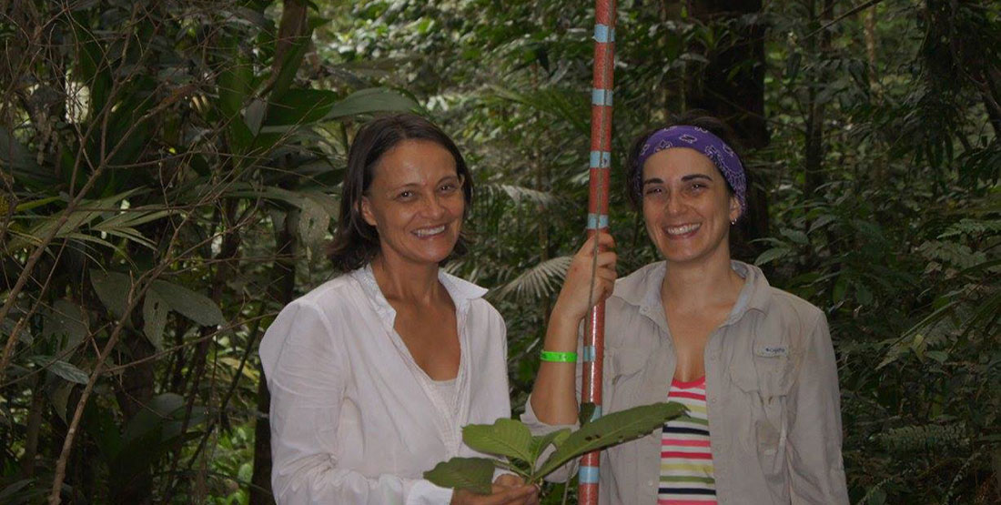
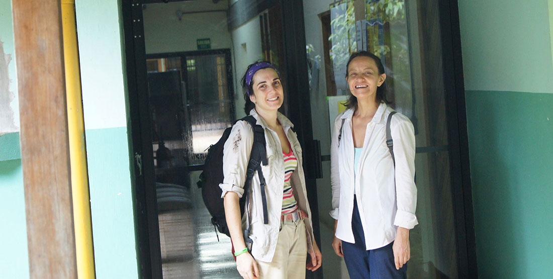
I recently visited the Costa Rica rainforest to collect samples for my research. Mireya Córdoba, a professor in sustainable development at the Universidad Distrital Francisco José de Caldas, in Bogota, Colombia, joined me. Mireya is a botanist and environmental consultant and she’s done floral inventories all over Colombia. She knows Los Llanos—the savanna region between Colombia and Venezuela—very well and will also accompany me when I go there.
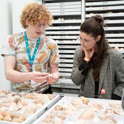
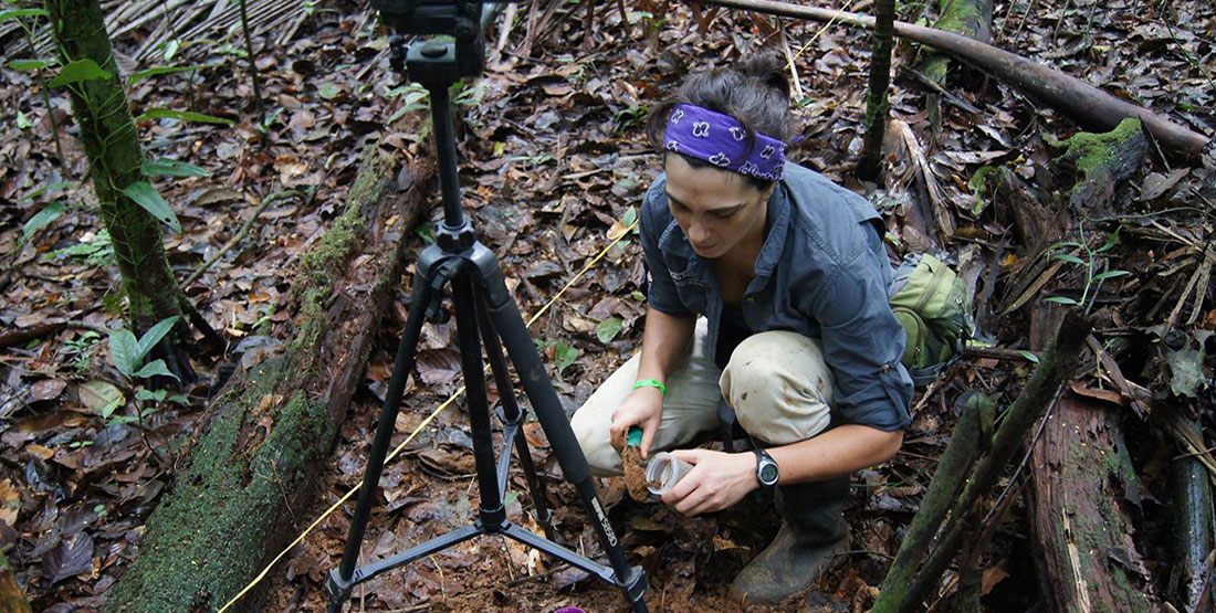
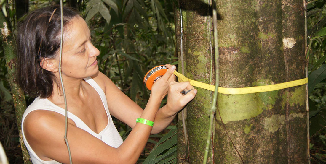
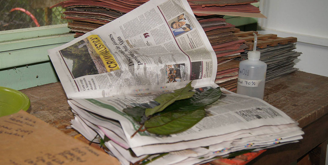
I collected soil samples (from which I can extract phytoliths) from several quadrants along a transect. In each quadrant, I made an inventory and collected plant species to compare the phytolith composition with the plant species composition. The plant specimens I collected will become part of the Burke Museum Herbarium collection (with copies going to the herbarium of the National Museum of Costa Rica) and the phytoliths will be part of the Burke’s paleobotany collection.
I then took a hemispheric photo at each sampling site. Hemispheric photos are "pictures of the sky" and are used to calculate the openness of the vegetation (a dense forest is very closed, a savanna is very open). The phytolith samples also provide information on vegetation openness. I want to compare this information with the one obtained from the photos to determine how accurate it is. In particular, I will use the "phytolith undulation index," a proxy for canopy openness based on phytolith shape that was developed by Regan Dunn, former paleobotany grad student and collections manager at the Burke.
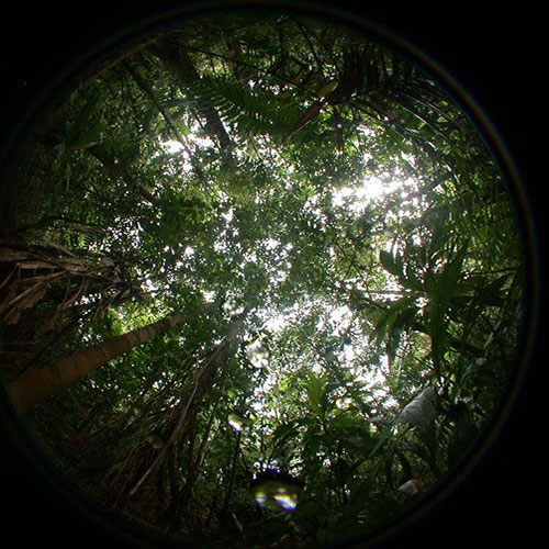
Hemispheric photograph of the canopy, used to calculate the Leaf Area Index (LAI), an approximation for the amount of light that comes through the forest canopy. Then, we compare the LAI with similar phytolith data.
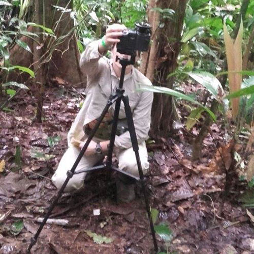
Camilla taking a hemispheric photograph. We take one photo at each sampling site.
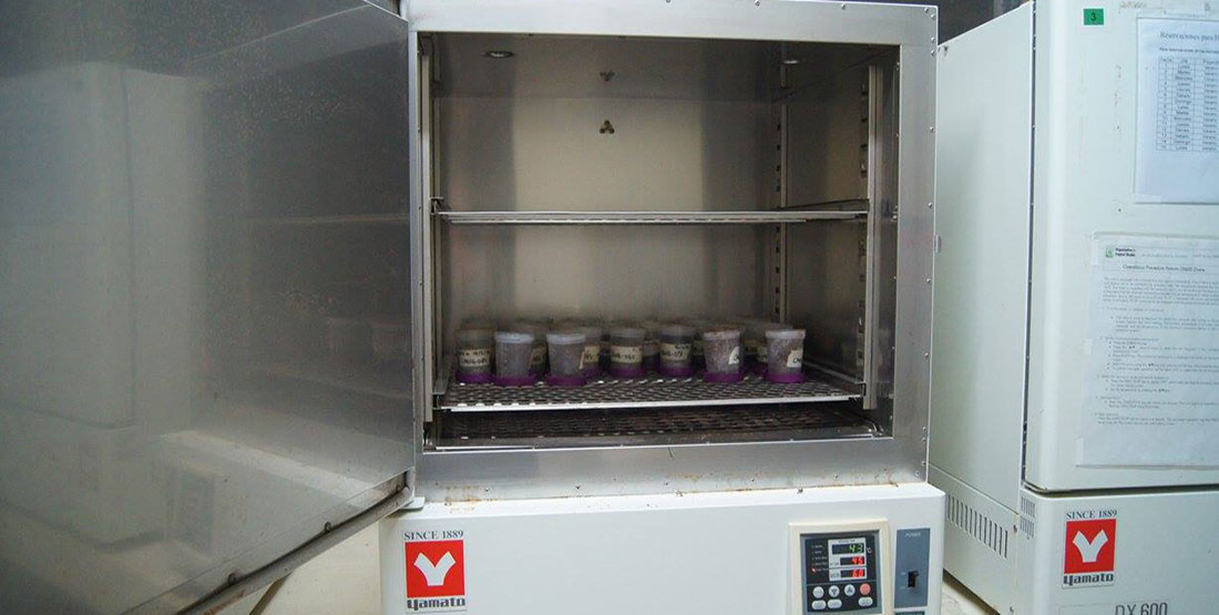
At the end of each day, we walked three kilometers through the forest trail back to the research station to enter their data in the computer, dry the soil samples and press the leaf samples.
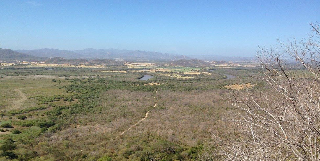
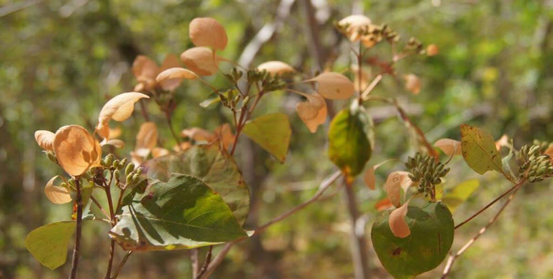
Costa Rica dry forest – Palo Verde
I then went to Palo Verde, a dry forest in Costa Rica, to continue my study. It was hot and dry!
Coming up
Next I will soon head to a savanna in Colombia to collect more samples. Then I would like to use phytoliths to relate habitat structure with fauna diversity in the past. For this last piece my advisor, and Burke Museum paleobotany curator, Caroline Stromberg and I have already collected 17-million-year-old rock and fossil soil (paleosol) samples from Patagonia (Argentina).
Vertebrate paleontologists have already found an incredible faunal diversity at this site during a time of climate change called the Middle Miocene Climatic Optimum (MMCO). The MMCO is the last warming event before the current one, and climatic conditions changed in a way that is probably comparable to climate change predictions for the future.
This makes the MMCO a very interesting time period to study because understanding what happened at that time can help us in predicting future changes in ecosystems as well as taking smarter conservation initiatives.